Skip to main content
University of Pardubice
Faculty of Electrical Engineering and Informatics
University
Login:
Employees
|
Students
Česky
Search
Content
Contacts
Login for students
E-mail
Intranet
STAG
MOODLE
ISKAM
Service Desk
Login for employees
Intranet
Webmasters
Menu
Menu
Departments and Parts
Department of Automation and Mathematics
Department of Electronics and Radio Systems
Department of Information Technology
Department of Software Technologies
Research Centre
International Office
Faculty
About the Faculty
Faculty Management
Official Board
Study
Short Term Mobility (Erasmus+)
Study Programmes
Directives
Student Life
Contacts
Research and Development
Strategic research and development plan
Research Centre of FEEI
Research Team of Petr Doležel
Research team of Tomáš Zálabský
Research team of Tomas Brandejsky
Provided Services
Co-operation
Cooperation with Industry
Collaboration in Science, Research, and Education
International Cooperation
Contacts
Contact Us
Virtual Tour
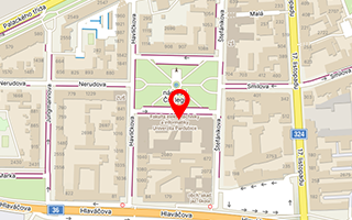
On the Map
Publication detail
Fúzování dat inerciálních senzorů a polohy GPS
Authors:
Šimerda Karel
Year:
2012
Type of publication:
software
Page from-to:
nestránkováno